Resources
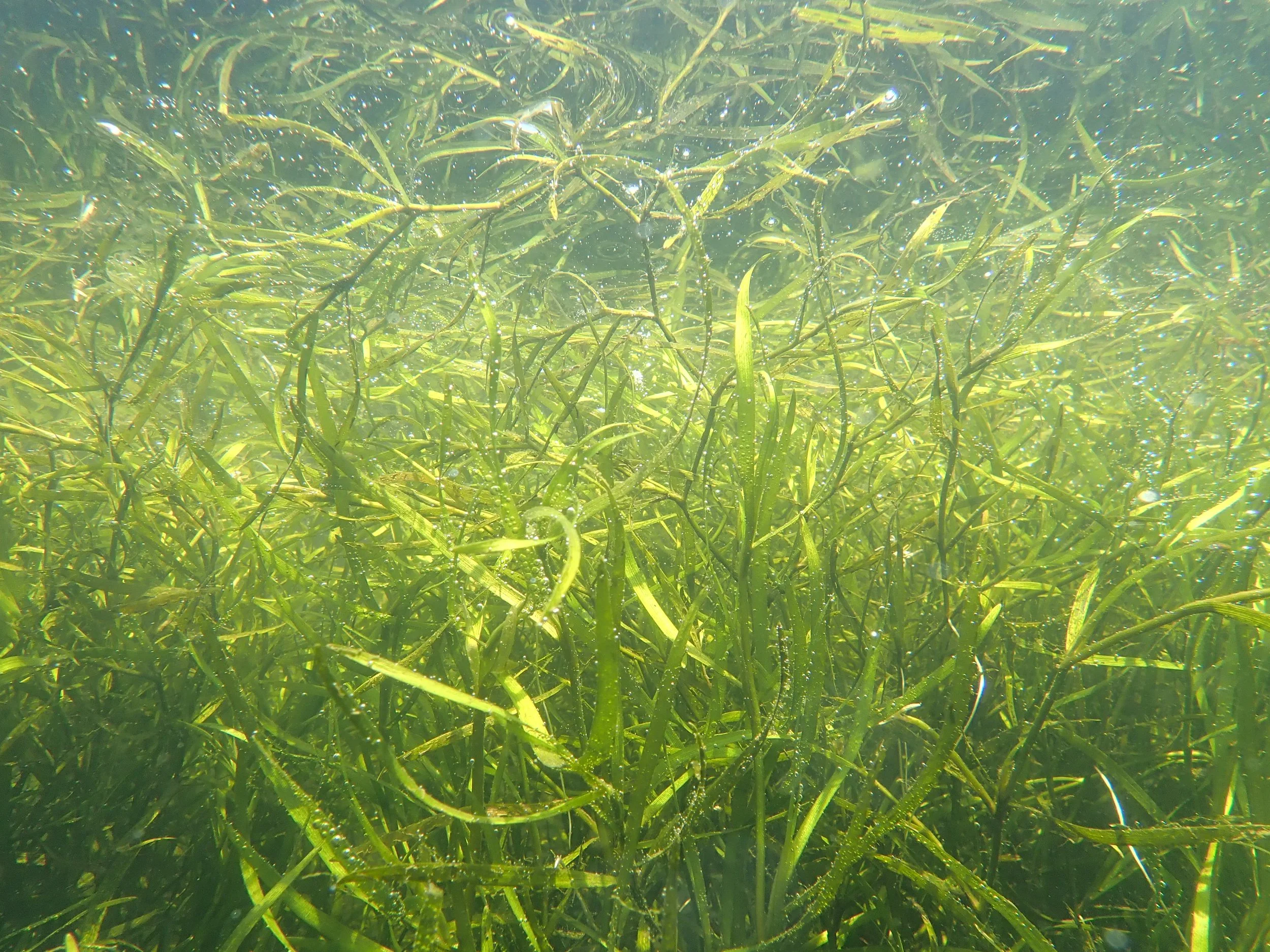
SAV Monitoring
SAV Monitoring
Submerged Aquatic Vegetation Mitigation and Monitoring Guidance for the Chesapeake and Atlantic Coastal Bays developed by the Chesapeake Bay Program’s SAV Workgroup. This document is available here.
Chesapeake Bay SAV Monitoring Program: The Chesapeake Bay Program takes an integrated, three-tiered approach to monitoring SAV. To read more about the overall program, click here.
Chesapeake Bay-wide Aerial Survey (Tier 1): The Chesapeake Bay-Wide Aerial SAV Survey is a long-standing monitoring effort coordinated through the Chesapeake Bay Program
Chesapeake Bay SAV Watchers Program (Tier 2): SAV Watchers is a volunteer-based program that supplements the Bay-wide aerial survey and provides community engagement opportunities
Chesapeake Bay SAV Sentinel Site Program (Tier 3): The SAV Sentinel Site Program is a more detailed and focused monitoring effort conducted by Bay scientists.
Submerged aquatic vegetation (SAV) habitat survey assessment for the tidal Delaware River App: This application shows the results of an aquatic habitat survey assessment that was performed by the United States Environmental Protection Agency Region 3 (Mid-Atlantic) in 2017, 2018, 2019 and 2020. This survey utilized a single beam echo sounder (Bio Sonics MX Habitat Echo sounder), along with the accompanying post-processing software (Visual Habitat), to assess SAV distribution and extent along the tidal Delaware River. EPA intends to update this application when new monitoring data is available.
A Comparison of Eelgrass Mapping Methods: Working to Improve Accuracy of Eelgrass Mapping for Project Review and Ocean Planning
In October, 2021, the Massachusetts Office of Coastal Zone Management (CZM) and Massachusetts Bays National Estuary Partnership (MassBays) kicked off a study to assess the accuracy and performance of several eelgrass mapping methods. Eelgrass is a marine, meadow-forming plant that provides critical fisheries habitat, improves water quality, stores carbon, and protects the shoreline from storms. To properly manage and protect eelgrass, accurate mapping information is needed to track the location and size of meadows. Several remote sensing methods, such as satellites, airplanes, drones, and underwater side scan sonar, provide imagery that can be analyzed for eelgrass, but little is known about the accuracy and limitations of maps generated from these sources. This 18-month study, funded through the National Oceanic and Atmospheric Administration (NOAA) Project of Special Merit grant program, compared each remote sensing method against SCUBA diver surveys (and some underwater photo ground truthing). The results will help determine the accuracy of each remote sensing method in detecting the eelgrass meadow’s edge—an area where most remote sensing techniques have low confidence.
Mapping Seagrass in New Jersey's Coastal Bays
Decision-making for Coastal Adaptation: Sustaining Coastal Salt Marshes for Ecosystem Services along the Jersey Shore
Richard G. Lathrop, Josh Moody, Martha Maxwell-Doyle, Danielle Kreeger, Mike Kennish, Rachael Sacatelli, LeeAnn Haaf
Check out the ArcGIS storyboard here.
A Comparison of Eelgrass Mapping Methods
Check out the ArcGIS storyboard here.
Salem 2022 – MA DMF and Northeastern University Scientists Investigate Methods to Improve Resilience of Restored Eelgrass
“In Massachusetts, eelgrass (Zostera marina) is an important marine flowering plant that provides habitat for many fish and invertebrates including commercially and recreationally harvested species such as winter flounder, bay scallop, and American lobster. Widespread eelgrass declines in Massachusetts in recent decades have led to concern and a call for increased restoration efforts. However, to date, many eelgrass restoration efforts in Massachusetts have been unsuccessful, with eelgrass failing to persist more than a season or two following planting. Interestingly, small scale experiments in laboratory and field settings indicate that eelgrass are adapted to local environmental conditions at fine spatial scales. This suggests that the traits of donor eelgrass may strongly influence restoration success. In addition, experimental plantings that incorporate eelgrass with a mixture of traits are more resilient to stress caused by heat waves, algal blooms, and grazing. MA DMF and Northeastern University scientists are working together to investigate whether these experimental findings scale up to affect the resilience of eelgrass in large-scale restoration efforts. Specifically, eelgrass shoots from five natural beds along the North Shore of Massachusetts were harvested and planted individually and in mixture at a ½ acre restoration site in Salem Sound. The fourth year of the planned five-year monitoring program of the restored site was complete via SCUBA this past summer. The final restoration site monitoring is planned for next summer and will involve SCUBA and side scan sonar surveys of the site. These data will then be analyzed to test the effects of eelgrass donor identity and diversity on restoration success. For more information, contact Forest Schenck at
-Habitat Hotline Atlantic 2023 Issue, Volume 1 pg 14-15
Supporting Coastal Carbon Habitats, Monitoring, and Research
Claire Enterline, Maine Department of Marine Resources
“In 2020, the Maine Climate Council recommended improving our knowledge and conservation of coastal carbon, or blue carbon habitats. These include tidal marshes, eelgrasses, and seaweeds have the potential to sequester and store carbon in addition to their numerous benefits of providing habitat that supports a diversity of species, as well as providing ecosystem services like nutrient reduction and flood resilience.
In response, the Maine Legislature passed LD 559, an Act that restores regular mapping of eelgrass beds throughout the state on a five-year rotational basis, as well as mapping saltmarsh acreage and change over time. The Maine Department of Environmental Protection oversees the new program. Mapping of eelgrass beds in Southern Maine was completed in 2022 through a separate initiative, and the new program will begin collecting information for the Midcoast area within the next five years.
Additionally, researchers, policy advocates, managers, and coastal communications specialists have formed the Maine Blue Carbon Network to advance the exchange of information about blue carbon research findings, needs, and how the information can be used to inform policy and management. Over the next two years, the Network will work to inform state carbon accounting using refined carbon sequestration and greenhouse gas emission rates from current Maine-based research, as well as host public workshops to provide a forum for exchange of emerging scientific information and research needs among members of the scientific community and coastal managers.
For more information, contact Claire Enterline at Claire. Enterline@maine.gov”
-Habitat Hotline Atlantic 2023 Issue, Volume 1 pg 12